Hiking: McCall Point
Post by Olivia Martino Blodgett, Registered Diettian and Personal Trainer

I’m aware that this statement might cause an outrage from Oregon Hikers but I don’t like Dog Mountain. I know, I know, it’s everyone’s favorite go to for a kick ass workout, vast views of the gorge and sweeping hills covered in wildflowers in the spring. It’s true that you have to do this hike at least once. It’s a good challenge and an excellent accomplishment to have under your belt. But I feel that it’s gotten overcrowded (I believe they actually have shuttles that run there from Stevenson now!!!) and most of the hike is in the woods, meaning you don’t get your view until the very top, where it’s often too windy to stay long.
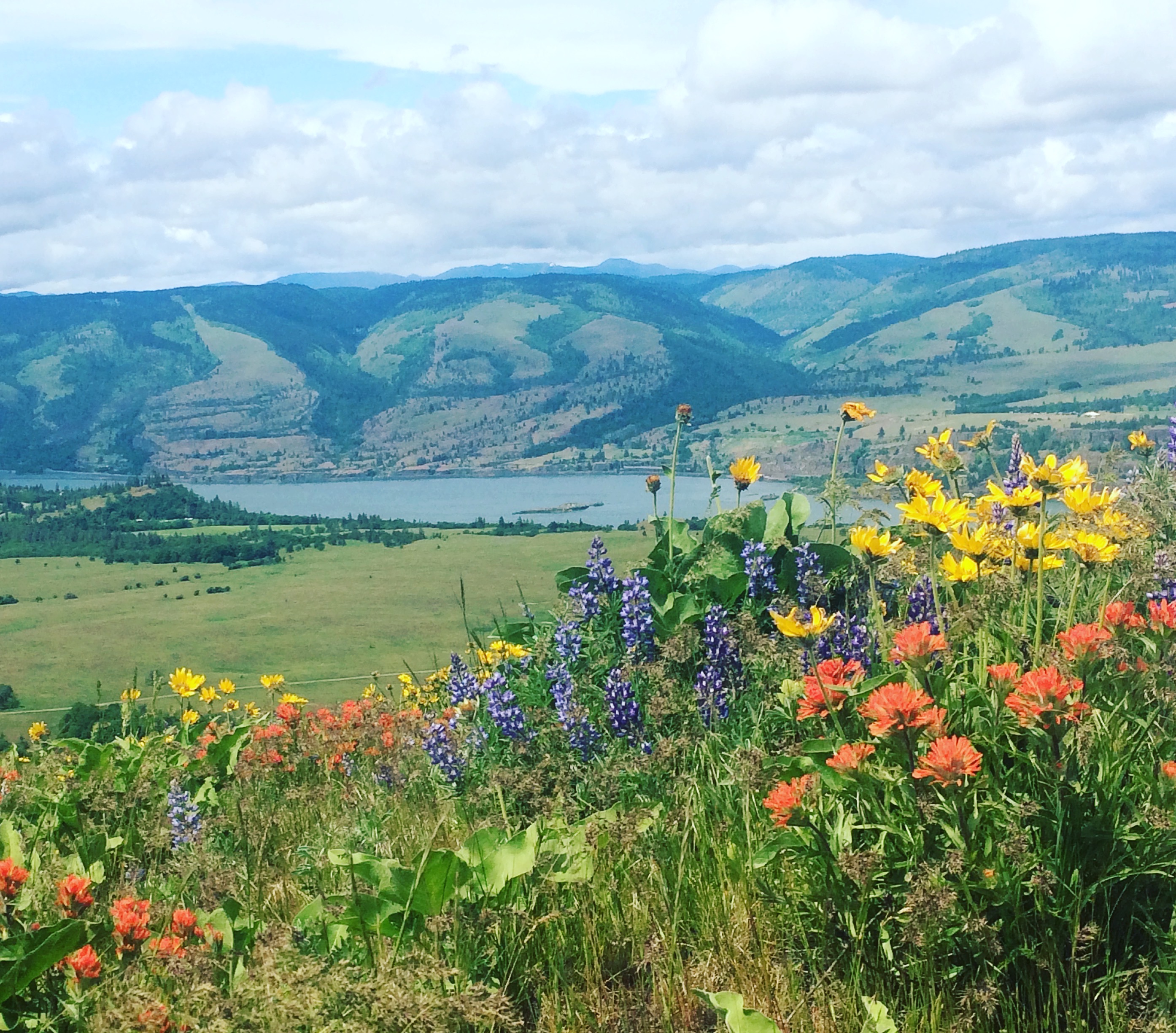
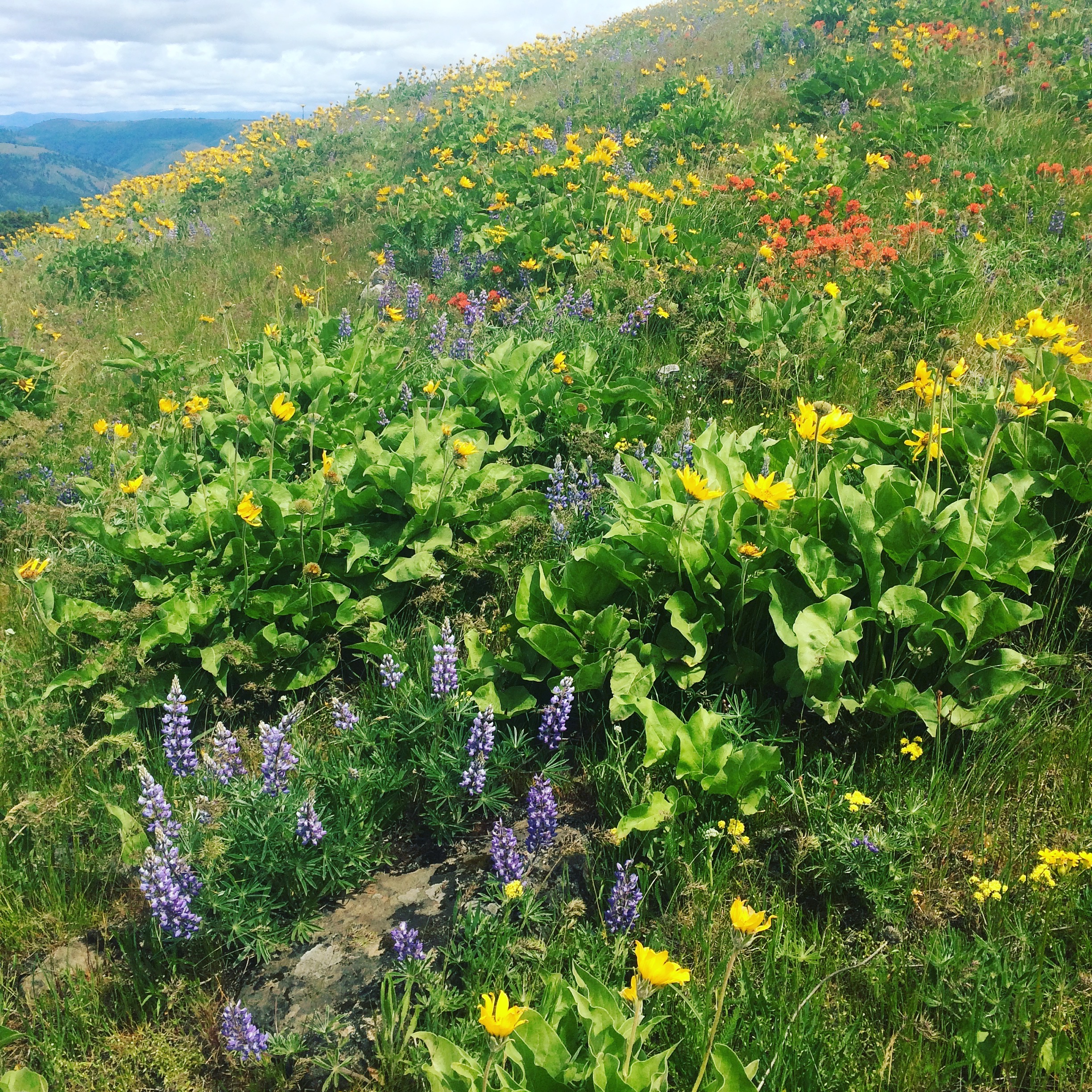
The following hike is definitely not comparable in terms of difficulty–it’s way easier– but if it’s wildflowers you are seeking, I think it beats Dog Mountain by a landslide. You can enjoy views of the Gorge for almost the whole hike and the flowers just grow thicker and thicker as you climb. I did this hike last May but expect the wildflowers to be in their peak more like early June this year. So bookmark this hike and make sure to plan it into your spring!
Hike: McCall Point Hike
Date: May 14th, 2017
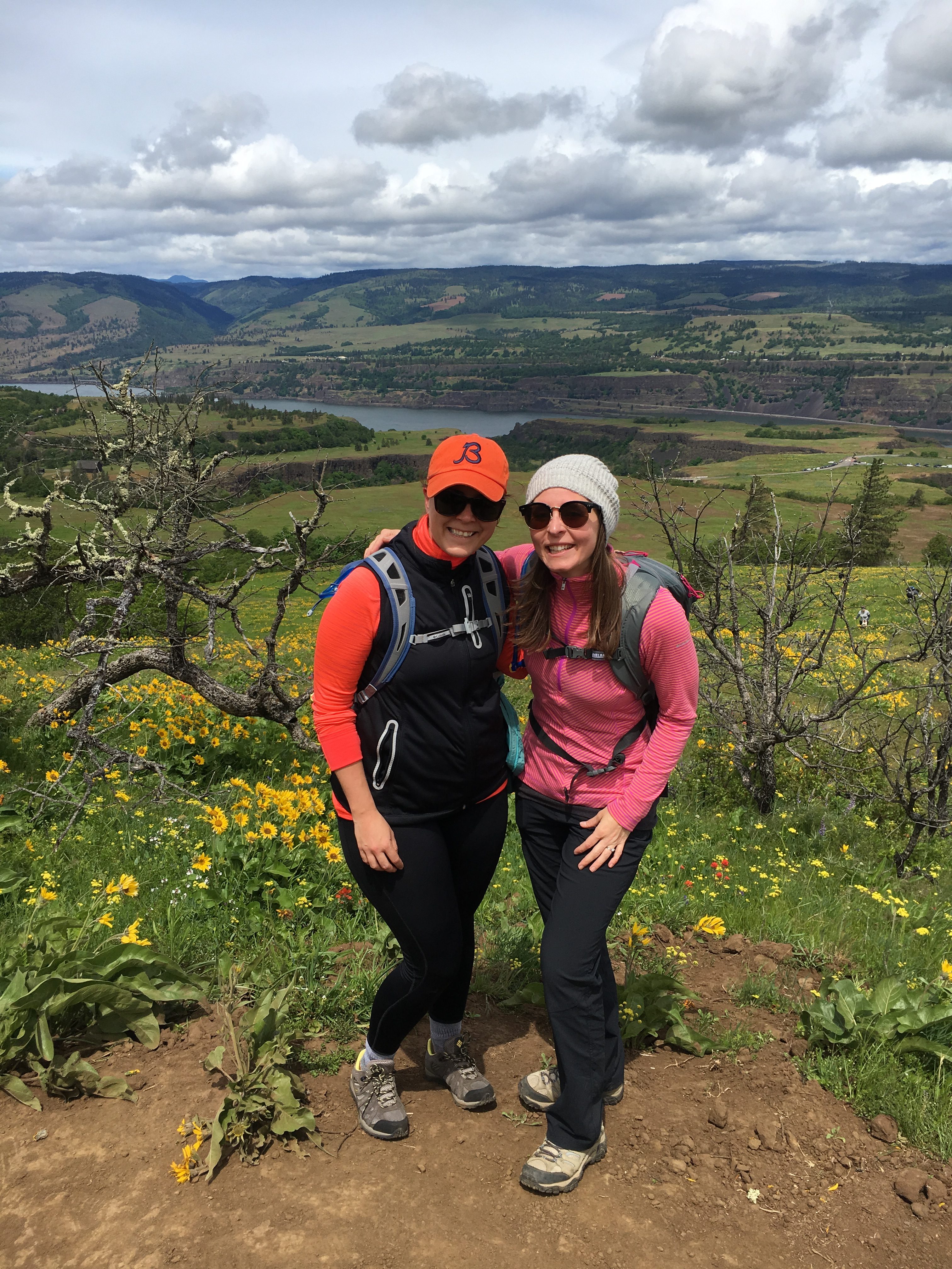
Hiking Buddy: Lauren
Total distance: 3.6 miles (Out and Back)
Total elevation gain: 1070 feet
Permit required: No
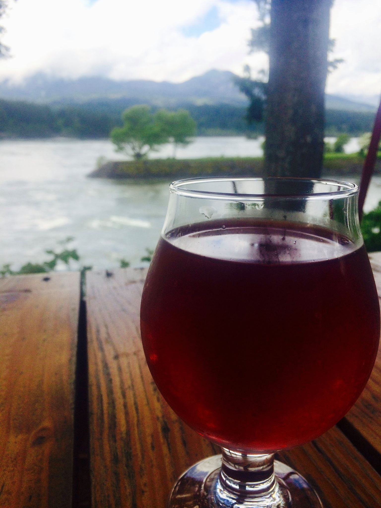
Beer pairing: Thunder Island-Marionberry Cider
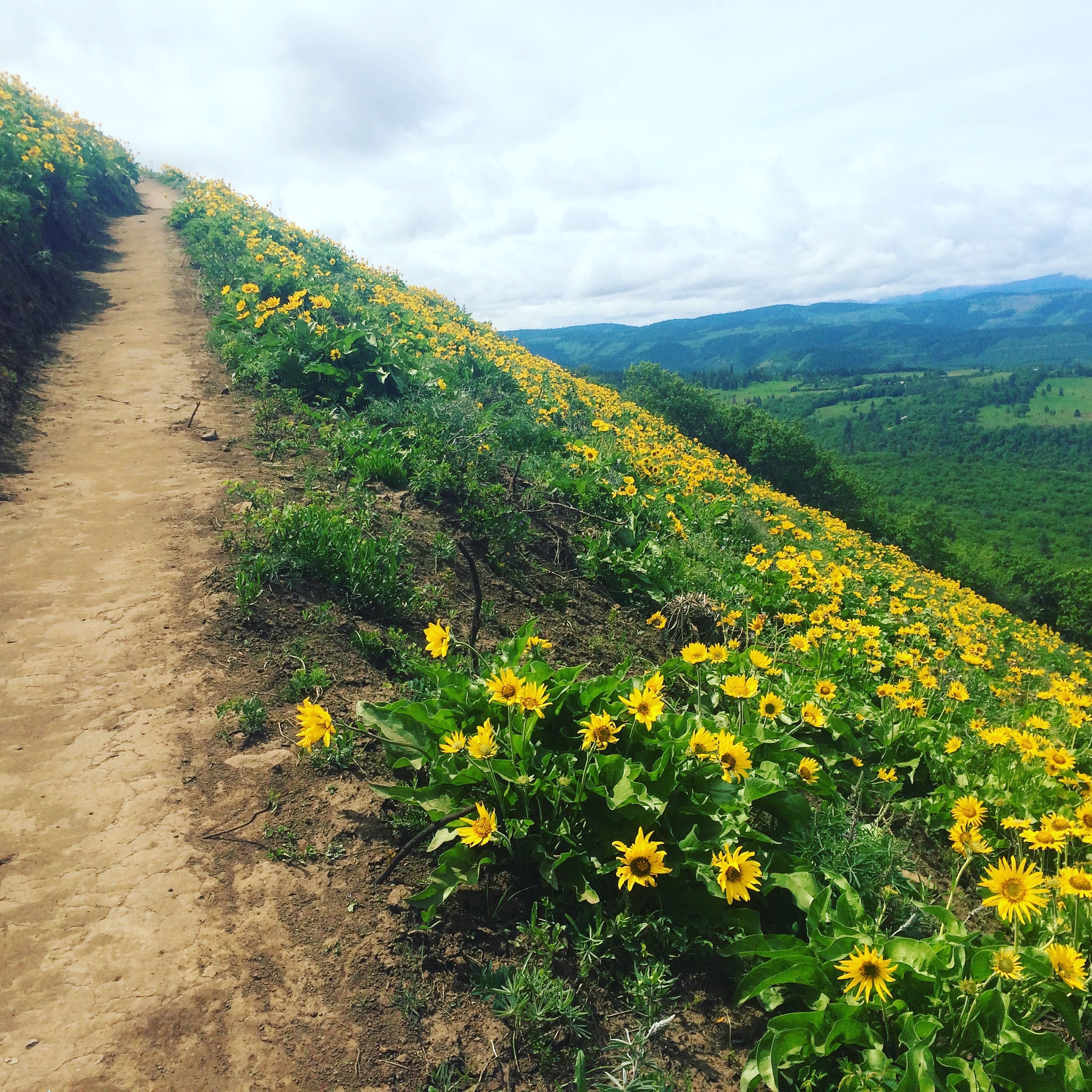
This was by far my favorite wildflower hike I have done. The trail was lined with balsam root and lupine for the whole entire hike and the ground cover only thickened as we climbed in elevation. It was a huge payoff for a minimal effort. Absolutely stunning.
Details from oregonhikers.org:
From the Rowena Crest Trailhead, the trail crosses a flat area for 1/10 of a mile then picks up a faint old road. The old road is followed for another 2/10 of a mile to an intersection with another old road.
After a little more than half of a mile, you’ll come to a sign labeling the “Tom McCall Point Trail”. The trail leaves the wagon road here and after a short climb reaches the meadowed slopes overlooking the Rowena Plateau. Here, you’ll have your first view to the west, including the arched highway bridge,and Mount Defiance. Looking north, Mount Adams appears beyond the town of Lyle. From here, the trail gets steeper as it switchbacks, alternating through forests of scrub oak and open grassy areas. This part of the trail is populated with poison oak and ticks. Be sure to wear long pants and long sleeves.
The summit is marked by the kind of marker more commonly seen next to the freeway. You’ve still got the same beautiful river views and now there’s a great morning view of Mount Hood, as well.
For those with a little wind left in their lungs, a fainter trail continues south dropping steeply into a little saddle and climbing up the peak beyond. This part of the trail is narrower, steeper and more prone to poison oak than the first part. After about another half mile, you’ll reach the second summit marked by a small rock cairn. The area is covered is small oak trees, but there are open viewpoints here and there in all directions.